Some questions are easier to answer with a map. Which of these three sites is closest to the depot? What order should I visit these customers in? Where did those incidents happen?
Until now, Autohive agents answered questions like these with text. The coordinates, lists, and distances might all be accurate, but you still had to picture where everything was and how the locations related to one another.
Autohive agents can now show interactive maps inside the conversation. You can pan, zoom, and tap the map without leaving the chat.
You can explore a real conversation in which an agent plans a walking tour of central Wellington. The map is the agent’s actual response, so you can pan it, zoom in, and tap the pins.
What your agent can put on a map
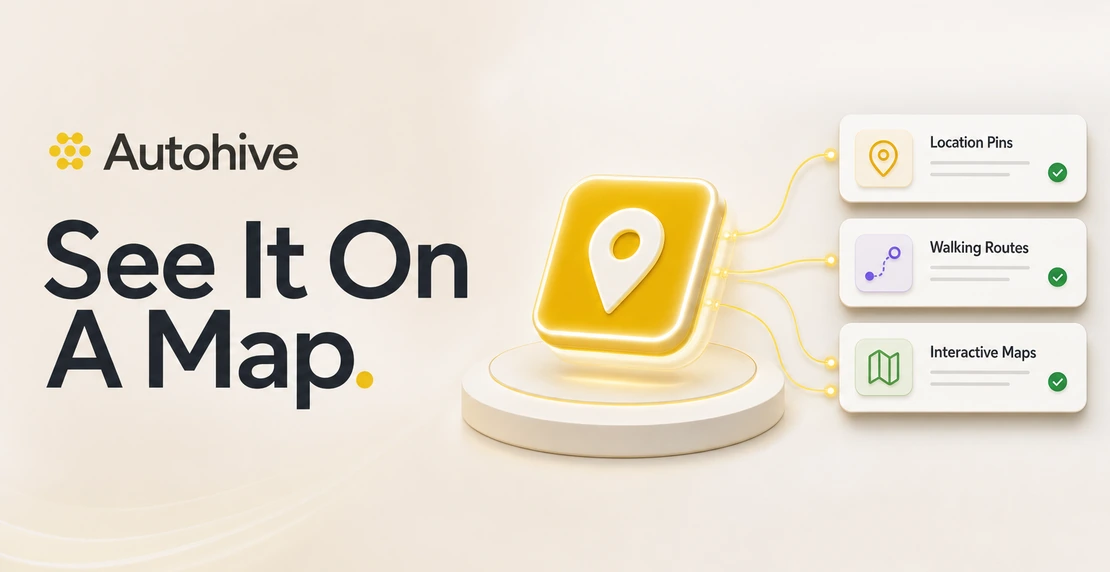
When a map explains the answer more clearly than a paragraph, an agent can include:
Pins with context. Every location gets a labelled pin. Pins can also have a status color, such as green for good, amber for a warning, or red for a problem. Tap a pin to open a detail card with the notes, figures, address, or other information related to your question.
Routes that follow real streets. Agents can draw route lines between stops and show the total distance and estimated time. Walking routes follow streets and paths instead of drawing straight lines between locations.
Familiar map controls. Scroll to zoom, drag to pan, or expand the map to full screen for a closer look. On a phone, the expanded map opens as a sheet, like other Autohive panels. Maps remain interactive when you share a conversation, so the recipient can use the same map.
From a spreadsheet to a walking route
This feature grew from a customer’s need to map spreadsheet data and plan visits on foot.
Put a spreadsheet on a map. Upload a CSV of locations to the chat and ask the agent to map them. Each row becomes a pin. Tap a pin to see the information for that location from the spreadsheet.
Plan the walk. Ask the agent to plan a route and it can suggest a visiting order, then plot a path along the streets and footpaths between each stop. The map shows the total distance and estimated time, including any time you want to spend at each location.
The map stays with the conversation. You can share the chat so others can see the same interactive result, or open it on your phone while following the route.
How it works
Agents load map instructions when needed. The instructions for drawing maps live in an Autohive Skill instead of every agent’s permanent instructions. When a question calls for a map, the agent reads the Skill, learns the required format, and gets access to the route-planning tool. This keeps unrelated instructions out of the agent’s working context. It uses the same Skills system that teams can use to teach agents new tasks.
Walking routes use real street data. A built-in tool gets the street and footpath network around your stops from OpenStreetMap. It matches each stop to the nearest walkable path and calculates a short route along the available streets. Duration estimates account for walking speed and any time you want to spend at each stop.
The agent can also suggest a visiting order. Suggested orders are labelled “suggested” rather than “optimal.” If reliable coordinates are unavailable, the agent says so instead of guessing.
Maps stay lightweight. They use OpenStreetMap tiles and do not require a large mapping library, so they load quickly whether the answer contains one pin or a route with dozens of stops.
Try it
Maps are available now in Autohive chat. Ask your agent to compare locations, plot incidents, or plan a walking route.
Not on Autohive yet? Start at autohive.com.
Keep buzzing!



Jono Nourse